Introduction to Coast and Countryside
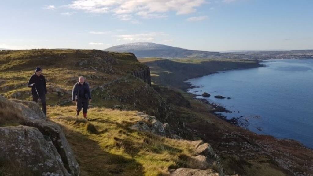
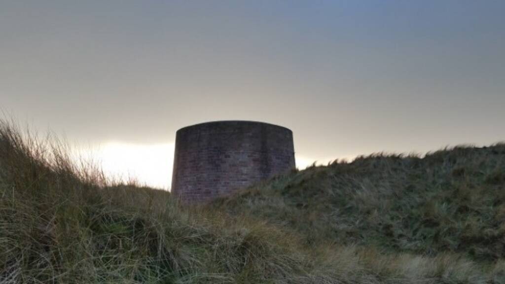
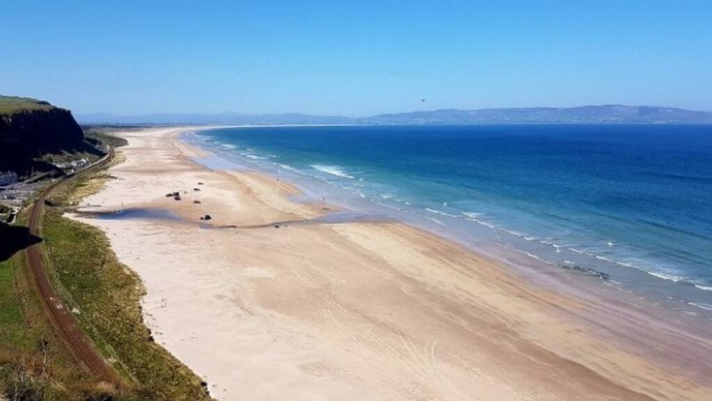
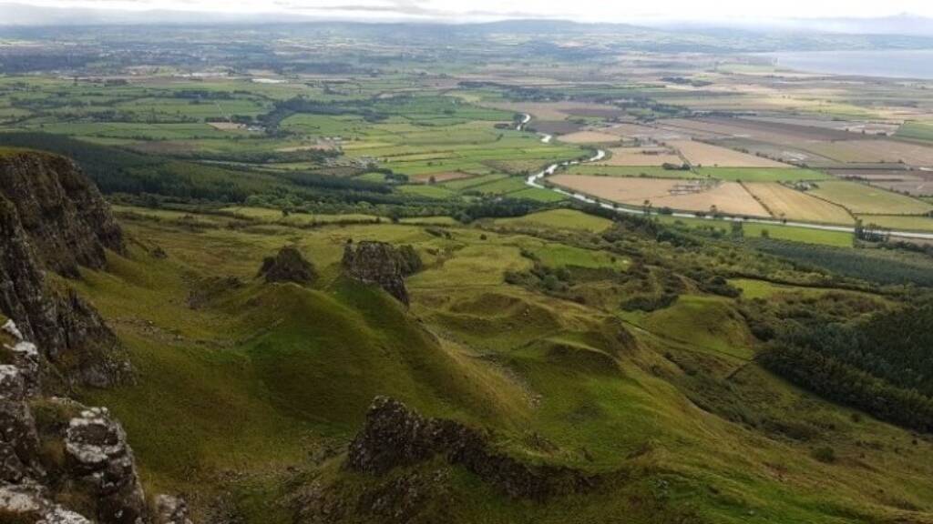
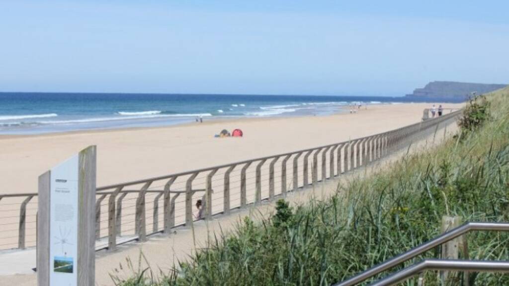
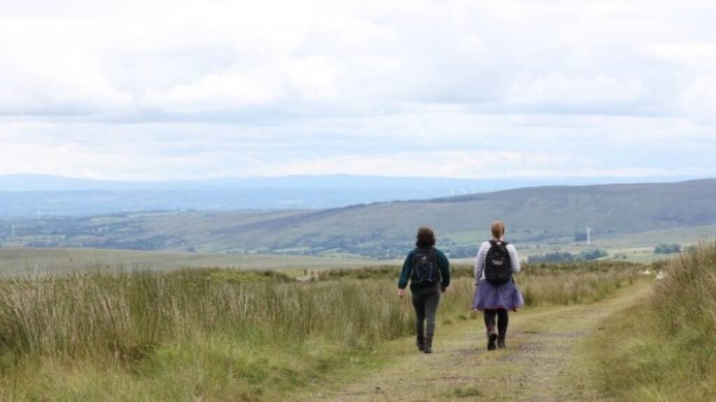
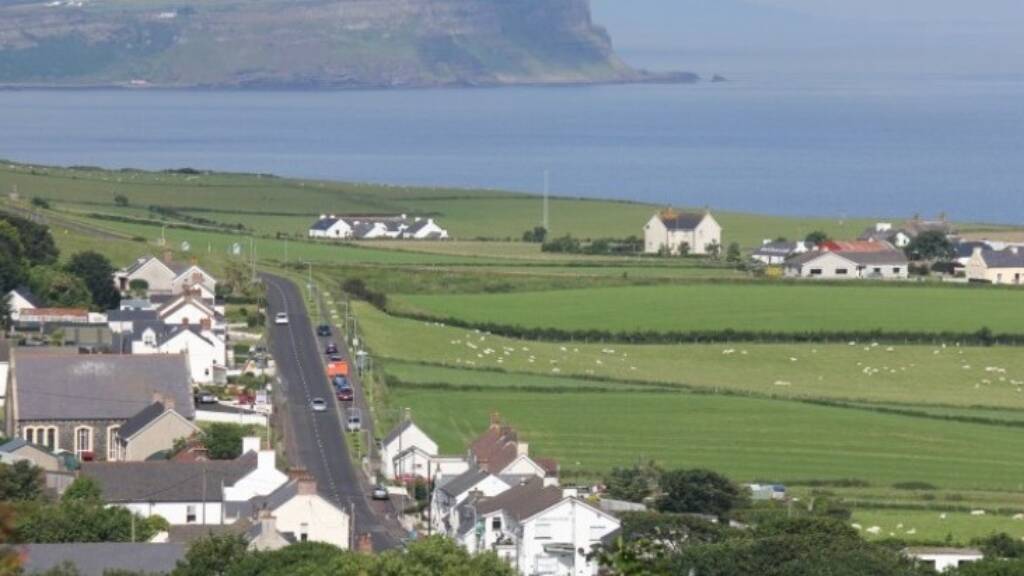
The Causeway Coast and Glens Borough is home to some of the most iconic landscapes in Northern Ireland. A popular year round visitor destination, it provides multiple opportunities for residents and visitors to enjoy the outdoors. At just under 2000 square kilometres and boasting approximately 125 miles of world famous coastline, the Borough stretches from Lough Foyle in the west to the Glens of Antrim in the east, and from the Causeway Coast and Rathlin in the north to the Sperrins and Bann Valley in the south.
Council recognises the value of this landscape and through its Coast and Countryside Unit aims to lead on its development, promotion and management in a responsible and sustainable manner.
Coast and Countryside Unit - Service Areas
The service areas of the Coast and Countryside Unit include the following;
• Relevant legislation (e.g Access to the Countryside (NI) Order 1983 and The Environment (NI) Order 2002)
• Biodiversity and habitat management
• Outdoor Recreation (Land, water, air activities)
• Beaches and Bathing Waters (coastal management)
• Natural Heritage (Areas of Outstanding Natural Beauty, Special Areas of Conservation, Areas of Special Scientific Interest, Local Nature Reserves)
• Coast & Countryside Development
• Coast & Countryside Management
• Outdoor Recreation & Biodiversity Events
• Promotion & marketing of outdoor/natural product
For information about Walking opportunities within the Borough please check out the 'Walking' section under 'Sports Activities'.
Public Rights of Way
District Councils in Northern Ireland have a duty under Section 3 (1) of The Access to the Countryside (NI) Order 1983 to “assert, protect and keep open and free from obstruction or encroachment any public right of way; and for this purpose a district council may institute proceedings in its own name”. This duty also requires the investigation of alleged public rights of way, to determine whether or not same exists.
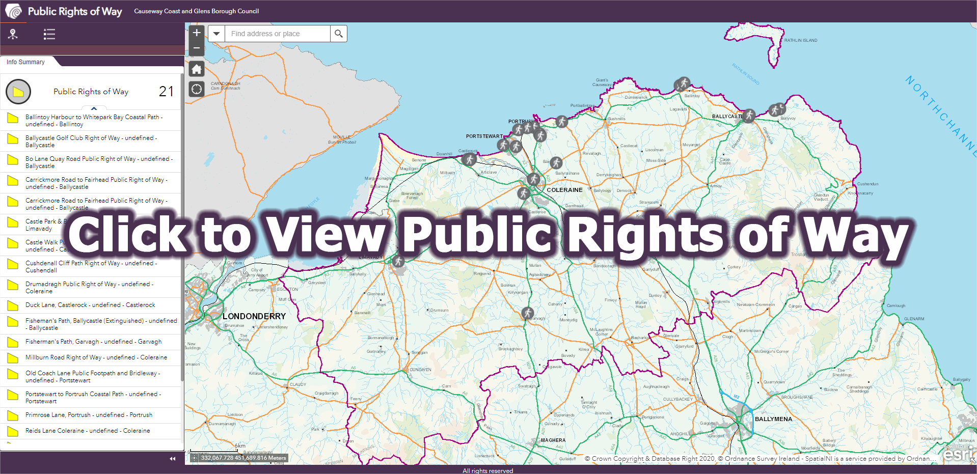
Current active Public Right of Way Route Status Investigations
The following Route Status Investigations are currently active:
Strand Road, Portstewart - alleged route connecting Strand Road and the coast path
The following form can be downloaded in order to submit evidence as part of the Strand Road, Portstewart, alleged Public Right of Way Route Status Investigation. Please note: The closing date for receipt of evidence by Council is 4pm on Friday 10th January 2025.
Contact Us
If you would like further information, please contact us
