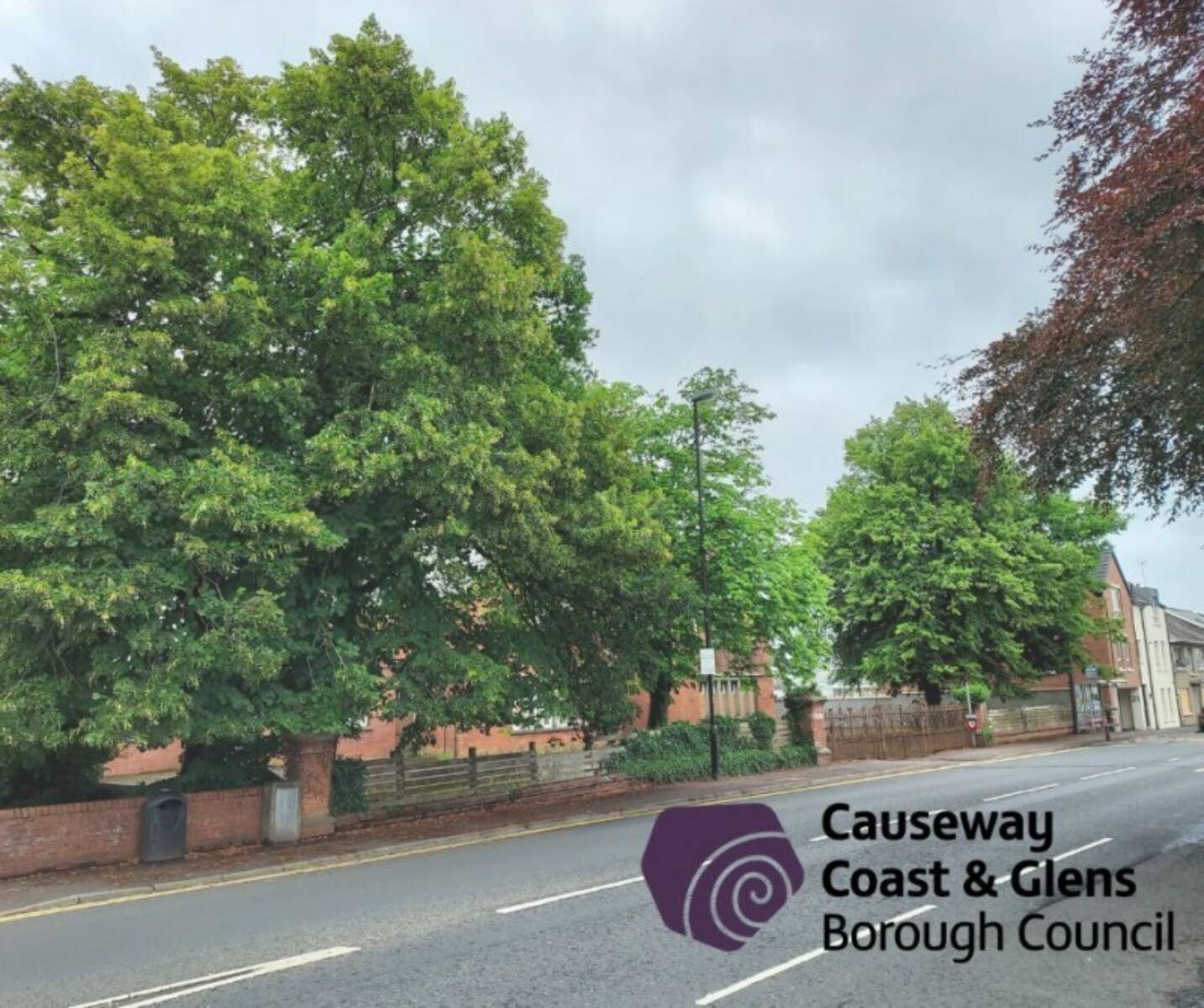
The Council’s Planning Department has launched a new interactive map viewer to help the public identify trees with preservation orders attached and those within the Borough’s five Conservation Areas.
Causeway Coast and Glens is one of a few Councils in Northern Ireland to introduce such a map viewer, and the Council hopes users will find it a much easier way to view both current Tree Preservation Orders (TPOs) and the five Conservation Areas spanning the Borough.
Currently, there are 80 Tree Preservation Orders within Causeway Coast and Glens, and the interactive map viewer provides information on each one, including a short description of the value of the trees, the status of the TPO, and access to the associated TPO Schedule and maps.
The interactive map viewer will make it easier for the public to determine if an area of land is currently affected by tree protection, and the map viewer will be updated when new TPOs are put in place.
The Planning Department would like to remind the public that unauthorised works to protected trees without the necessary consent can lead to prosecution and a fine.
This new interactive map viewer will help the public to determine if a tree is protected to enable the necessary consents to be secured before work is carried out.
The interactive map viewer may be accessed via: https://bit.ly/4bPe9bY
The Council’s website also provides updated information on trees generally within the Planning system including requests for TPOs, consent for works and other related tree matters relevant to the Planning Department.
More information on tree preservation orders can be found here: https://bit.ly/3yXyehG